PRINTABLE GEOLOGY ATLAS

Tectonic Plate Boundary Map by Fault Type

Last updated: October 12, 2026 • Scientific Model: Peter Bird (2003) PB2002
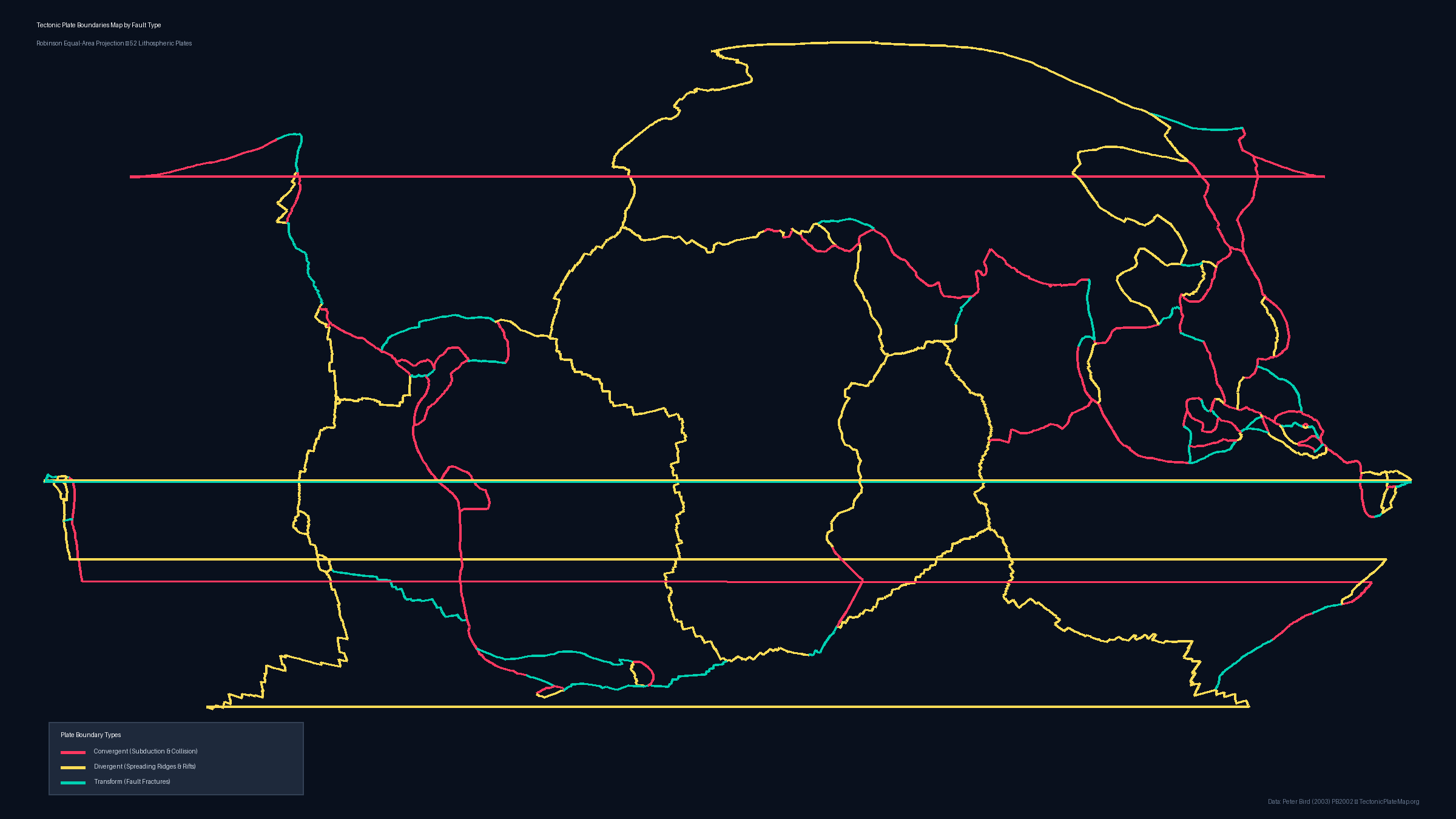
Labeled Tectonic Plates Blank Tectonic Plates Outline Tectonic Plate Boundary by Fault Type Continental Plates & Lithospheric Boundaries
Global map of tectonic plate boundaries color-coded by convergent red, divergent yellow, and transform green faults with legend
Tectonic Plate Boundary Map by Fault Type
Resolution: 2400 × 1350 px • Format: PNG, Vector SVG, PDF

About this Map

Tectonic plate interactions occur along dynamic margins categorized into three primary structural types: convergent, divergent, and transform boundaries. This specialized plate boundary map visualizes the Earth's entire 5,819-step boundary network, color-coded according to fault kinematics based on the PB2002 dataset. Red boundary lines represent convergent margins, including deep subduction zones (such as the Mariana Trench, Sunda Arc, and Peru-Chile Trench) and massive continental collisions (such as the Indo-Eurasian Himalayan front). Yellow lines mark divergent boundaries, where new oceanic lithosphere generates along seafloor spreading ridges (like the Mid-Atlantic Ridge and East Pacific Rise) or continental rift zones (like the East African Rift). Green lines depict transform faults, where adjacent plates grind past each other horizontally along strike-slip fractures like California's San Andreas Fault and the Alpine Fault in New Zealand. An integrated visual legend provides clear guidance on boundary classifications. Download this scientific reference map as a 2400px PNG graphic, scalable SVG vector, or high-definition printable PDF formatted for A4 and US Letter document standards.

Data Attribution & License

Boundary coordinates, plate geometry, and Euler poles are derived from Peter Bird's seminal work: "An updated digital model of plate boundaries", published in Geochemistry, Geophysics, Geosystems (G³), 2003 (DOI: 10.1029/2001GC000252).

License: The PB2002 dataset is open scientific data available for academic, educational, and public dissemination with attribution. All generated static map files on this page are licensed under Creative Commons Attribution 4.0 International (CC BY 4.0). You may freely use, share, and adapt them for school, research, or publication provided that attribution to PB2002 (Bird 2003) and TectonicPlateMap.org is preserved.