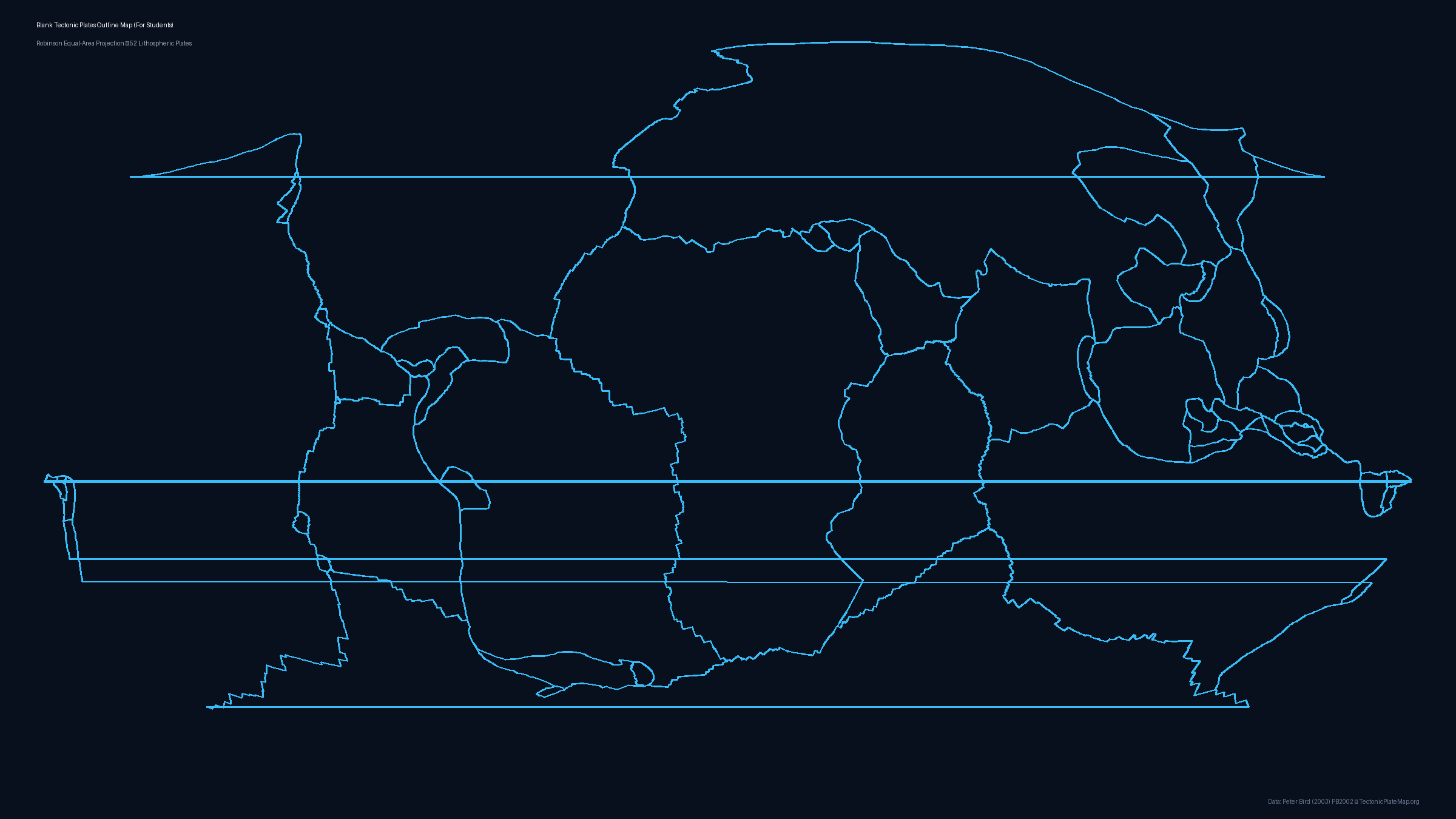
Blank Tectonic Plates Outline Map
Last updated: October 12, 2026 • Scientific Model: Peter Bird (2003) PB2002

Data Attribution & License
Boundary coordinates, plate geometry, and Euler poles are derived from Peter Bird's seminal work: "An updated digital model of plate boundaries", published in Geochemistry, Geophysics, Geosystems (G³), 2003 (DOI: 10.1029/2001GC000252).
License: The PB2002 dataset is open scientific data available for academic, educational, and public dissemination with attribution. All generated static map files on this page are licensed under Creative Commons Attribution 4.0 International (CC BY 4.0). You may freely use, share, and adapt them for school, research, or publication provided that attribution to PB2002 (Bird 2003) and TectonicPlateMap.org is preserved.