PRINTABLE GEOLOGY ATLAS

Continental Plates & Lithospheric Boundaries Map

Last updated: October 12, 2026 • Scientific Model: Peter Bird (2003) PB2002
Labeled Tectonic Plates Blank Tectonic Plates Outline Tectonic Plate Boundary by Fault Type Continental Plates & Lithospheric Boundaries
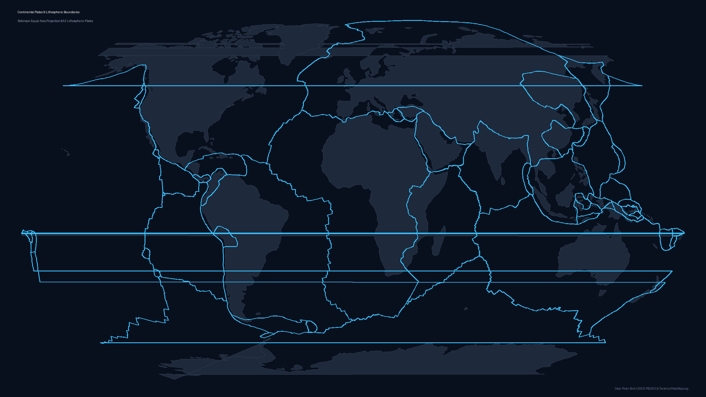
Map displaying continental landmasses overlaid with tectonic plate boundaries showing the difference between geographic continents and tectonic plates
Continental Plates & Lithospheric Boundaries Map
Resolution: 2400 × 1350 px • Format: PNG, Vector SVG, PDF

About this Map

A frequent misconception in earth science is confusing geographic continents with tectonic plates. Continents are defined by visible coastlines above sea level, whereas tectonic plates are thicker lithospheric slabs that often carry both continental landmasses and deep ocean basins. This map bridges that divide by overlaying global continental topography directly beneath Peter Bird's PB2002 plate boundary network. By comparing land borders to plate margins, viewers can immediately see that the North American Plate carries both continental North America and half of the Atlantic ocean floor, while the Eurasian Plate spans Europe, Siberia, and adjacent seafloor. Conversely, the Pacific Plate is almost purely oceanic, while complex continental mosaic regions like the Mediterranean, Southeast Asia, and Central America host multiple minor plates and collision zones. Use this map to illustrate why earthquakes occur inland along active collision zones and how plate motions continually reshape global geography over geological time. Available for download as print-ready A4/US Letter PDFs, 2400px PNG, and crisp vector SVG files.

Data Attribution & License

Boundary coordinates, plate geometry, and Euler poles are derived from Peter Bird's seminal work: "An updated digital model of plate boundaries", published in Geochemistry, Geophysics, Geosystems (G³), 2003 (DOI: 10.1029/2001GC000252).

License: The PB2002 dataset is open scientific data available for academic, educational, and public dissemination with attribution. All generated static map files on this page are licensed under Creative Commons Attribution 4.0 International (CC BY 4.0). You may freely use, share, and adapt them for school, research, or publication provided that attribution to PB2002 (Bird 2003) and TectonicPlateMap.org is preserved.